Orleans & Somes Bar Community Wildfire Protection Plan Web Tool
Need help with fuels reduction on your property? Do you want to comment on a fuels or wildfire preparedness related issue on private or public lands that you have seen?
The Orleans and Somes Bar Community Liaison Program has been working on a tool to help you do both. The information you provide is confidential, it will not be visible to the public. The tool contains tutorials to help you draw in areas you are concerned or need help with, lines for roads that have fuels or access issues, and points to mark important features like engine turn around spots or water tanks for fire suppression. Marking these features may help wildland fire professionals protect your home.
You can also use this web-based tool to view all of the data gathered as part of our recent effort to update the Orleans and Somes Bar Community Wildfire Protection Plan, or CWPP for short. If you are interested in planning how you would escape an oncoming fire if your main road was blocked, you can use this tool to research the best escape routes. You can comment on road issues you have seen that may be blocking your path, so that the Community Liaison Program can advocate for road maintenance. You can see how close your property is to PGE’s power distribution lines, and understand how the town of Orleans is served by a mixture of community water systems.
All private parcel and structure data on this tool is from publicly available sources. They are only displayed to help you plan. Parcel and structure data in our area is notoriously inaccurate, and is not meant to be used in place of an actual land survey.
If you have ideas on how to improve this tool and make it work better for the community, email chris@mkwc.org with your suggestions.
Fuels Reduction
Strategic fuels reduction before wildfire arrives is becoming more and more important as the frequency of large scale, wind driven wildfires increases. Fuels reduction also allows for safer implementation of prescribed fire treatments at larger scales. Our fuels reduction crews in Orleans/Somes Bar and Happy Camp, as well as regional contractors and partners, complete manual fuels reduction around homes and neighborhoods, critical access routes, and strategic fuel breaks, guided by local and regional Community Wildfire Protection Plans (CWPP). Additionally, MKWC works closely with partners and contractors to implement fuels reduction projects in forestlands to enhance community safety and forest resiliency to wildland fire.
Through the Orleans - Somes Bar and Happy Camp Fire Safe Councils, programs hosted by MKWC, there are planning services and resources available to residents and landowners, including technical and financial assistance, services for hire (mowing and chipping), equipment rental, and assistance with Landowner Stewardship Plans. Residents can get expert advice on tailoring a plan around their homes to maximize safety and minimize risk regarding preparations for the next wildland fire. Already doing work on your property? Tell us about it.
The landowner reimbursement program FLASH (Fire-adapted Landscapes and Safe Homes) is currently unfunded. We hope to resume offering FLASH in the near future. Please request to be placed on a waiting list in the following "Request for Assistance" form below.
Home Hardening and Defensible Space
Home hardening and defensible space are key components in the protection of homes and communities during a wildfire event. Homes have been lost and saved based on the amount of preparation done before a wildfire occurs. Home hardening and defensible space treatments are the first and most important component of community fire protection strategies. Additionally, creating defensible space can protect your property, your neighbors, and the forest around your home if it happens to be the fire source. It is up to each of us to manage our properties and help neighbors manage theirs. The more work we do before a fire starts the better off we will be.
MKWC will be offering defensible space inspections and home hardening suggestions to land owners we are working with. We will also be conducting some defensible space treatments to help our community members that just need that extra hand to get them started. Disabled and elderly residents are prioritized for fuels reduction treatments through private, state and federal grant funds.
If you are interested in working with MKWC to accomplish fuels reduction on your property, please use the interactive CWPP map tool.
For resources on home hardening and doing a home risk assessment and inspections, click on the following resources:
California Fire Safe Council Home Hardening Brochures
University of California Home Hardening Informational Webpage
Prescribed Fire
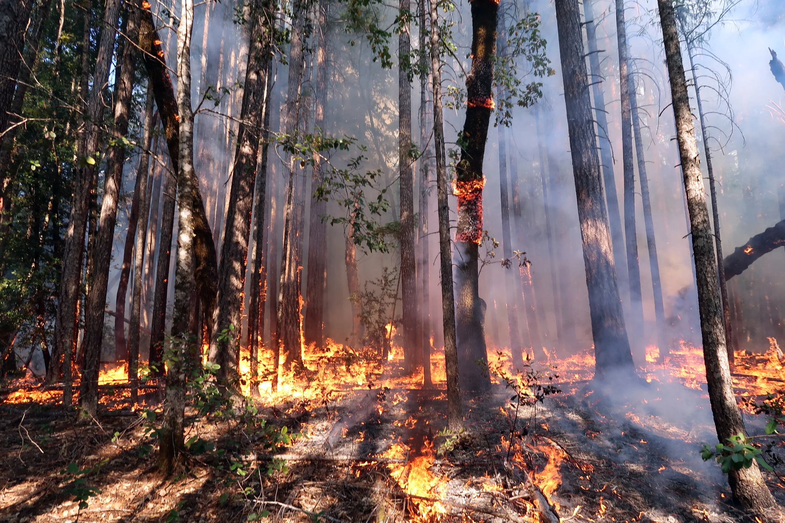
Implementing prescribed fire to protect communities, promote resilient forests, and enhance cultural resources requires close coordination with multiple organizations and residents to be successful. MKWC works closely with the Karuk Tribe, the Nature Conservancy, the US Forest Service, CALFIRE and other partners to implement the Klamath River Prescribed Fire Training Exchange (KTREX) program. This program works with many organizations locally, federally, and nationally to provide training opportunities to locals, students, fire professionals from around the country, and a growing pool of international participants. Since 2020, KTREX has expanded its reach by adopting the All-Hands, All-Lands (AHAL) model which lengthens the typical timeframe of a two-week TREX to a multi-season (fall to spring) program. The AHAL model prioritizes burns around good burn windows, and utilizes a growing group of on-call regional prescribed fire practitioners to get more burning done throughout the year when we are in prescription.
Coordinating Wildfire Response Through Collaborative Planning
Wildfire
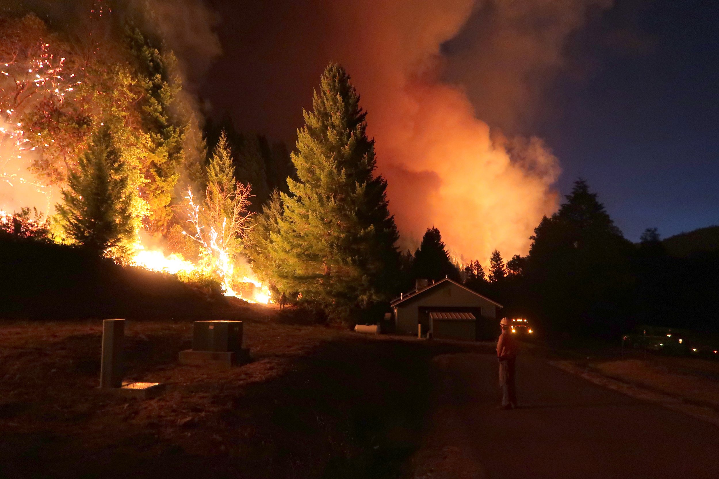
Over the last century, the criminalization of cultural burning and the adoption of fire suppression/exclusion as the cornerstone of U.S. Forest Service forest management on public lands in the West has greatly increased the potential for severe wildfires. Communities in the Western Klamath region where rugged mountains make it hard to suppress wildfires have been living with extreme wildfires for over four decades. To protect our communities and the watersheds that sustain us, we have created programs to organize wildfire preparedness and response that have been emulated across the West: Community Liaison Program and Potential Operational Delineations (PODs) and State-and-Transition REBURN Models.
Community Liaison Program
MKWC and community partners maintain a Community Liaison Program (CLP) to facilitate timely neighborhood and community communication during times of wildfire threat. CLP provides structure for interactions between communities and wildland fire personnel and Incident Management Teams. First developed on the Salmon River to address issues that arose during the massive 2008 wildfire season, the CLP program is now utilized by communities throughout Siskiyou and eastern Humboldt Counties, and has been adopted by communities in Washington, Oregon, and New Mexico.
PODS and REBURN Models
MKWC, the Western Klamath Restoration Partnership, and research partners are developing two complementary approaches to help inform restoration of fire and landscape resilience in a place-based and culturally grounded framework. Potential Operational Delineation (PODs) use a combination of regional analyses, including Potential Control Locations (PCL), Suppression Difficulty Index (SDI), and Highly Valued Resources and Assets (HVRA) maps to facilitate collaborative spatial fire planning that allows fire managers and those affected by their decisions to communicate using a shared risk framework for decision making for managing wildfires. To better understand how forests looked before they were affected by fire exclusion and industrial forest management, how forests are affected by fire on fire interactions, and ultimately, to create a shared vision for the forests we are managing TOWARDS, MKWC and partners are developing State-and-Transition/REBURN models that incorporate both Indigenous and western knowledge, values, and practices to assess different management scenarios against the backdrop of ongoing climate change. STM/REBURN models use supercomputers to model thousands of fire on fire interactions over 3,000 year “spin ups” that use actual climate, topography, and soils to model and spatially map forest transitions over time at the stand level. Together PODs and STM/REBURN models can help communities and fire managers develop landscape scale fire and forest management strategies and prioritize treatments to have the greatest positive effects.
Research and Monitoring
As a core partner of the Western Klamath Restoration Partnership (WKRP), MKWC engages in a multi-party monitoring effort with the other WKRP core partners. The Somes Bar Integrated Fire Management Project (“Somes Project”) is WKRP’s first landscape scale project that MKWC has helped facilitate and contribute to conducting research in addition to aiding the multi-party monitoring effort. The Somes Project research and monitoring efforts have provided a great foundation for the Partnership and will be translated and adapted to other project planning efforts.
One of the exciting new (2020) developments in research over the past year has been MKWC’s partnership with the North Coast Resource Partnership. Through this partnership, the development of State and Transition Models will be created for the entire 1.2 million-acre WKRP planning footprint. These models will show fire activity’s effects on the landscape with/without restoration treatments over thousands of years. They will help create a framework of prioritization for fuels treatments, management of wildfires, restoration of cultural resources and fire use, carbon management and sequestration, and creation of fire resilient forests and communities. This work will enable partners to build a shared vision for what we are managing towards and help create a roadmap for planning projects that will actually work over the entire 1.2 million-acre plan area.
Forest Restoration
Through the Western Klamath Restoration Partnership (WKRP), MKWC is partnering with local and federal organizations on landscape scale restoration projects. Methods for forestland treatments combine the best available science with Karuk Indigenous Knowledge for a holistic, long-term management approach that utilizes mechanical and manual thinning in preparation for regular, re-entry of fire. The intent of this approach is to realize the vision of maintaining resilient Klamath ecosystems, communities, and economies guided by cultural and contemporary knowledge.


